Discovering Tõrva: A Hidden Gem in Southern Estonia
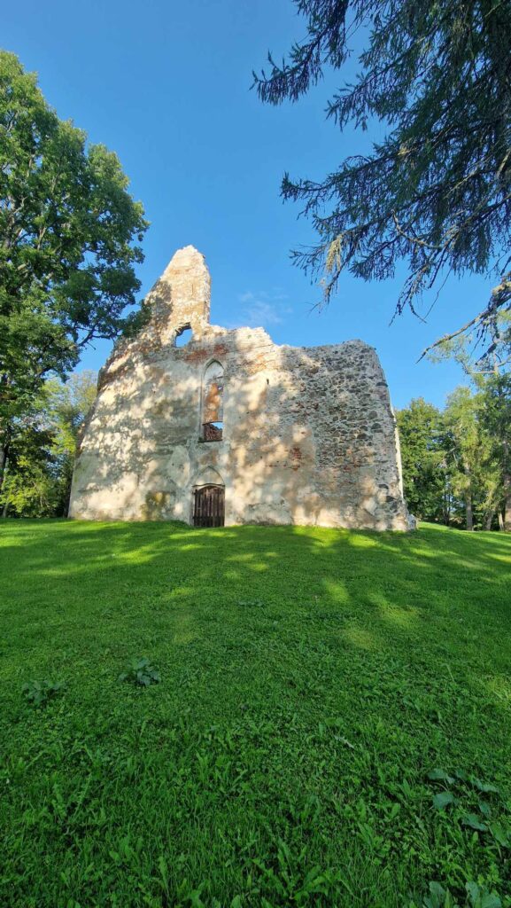
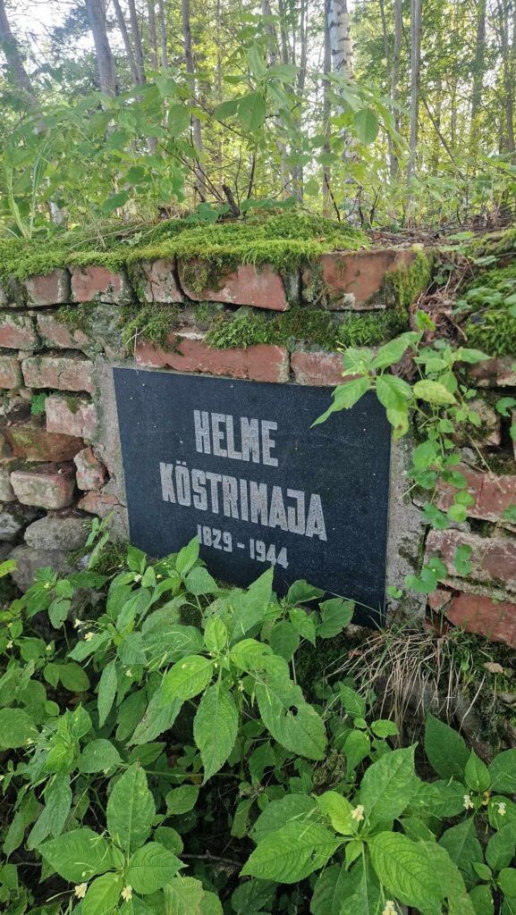
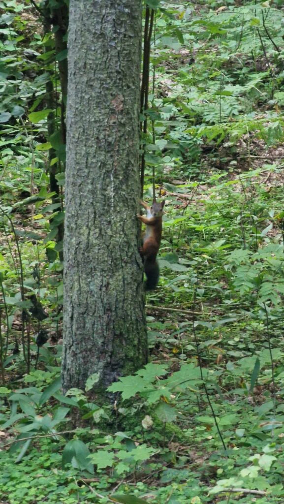
Tõrva might be less known to those living in the northern part of Estonia, but for the locals of southern Estonia, it’s a familiar name. Most people have heard of “Tõrva Loits” and might know a thing or two about this charming little town. Tõrva is a small, picturesque town, and its surroundings are equally rich in beautiful spots and historical significance.
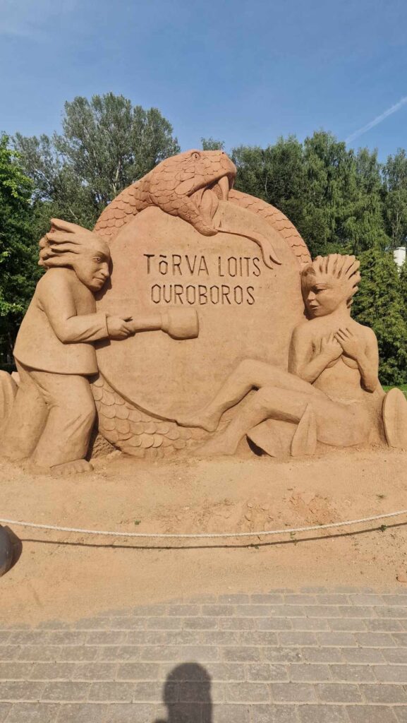
The name Tõrva logically derives from the word “tõrv” (tar), pointing to the town’s historical significance in tar production.
Located by Lake Vanamõisa in Tõrva, you’ll find the highest diving tower in the Baltics, standing 11 meters tall. Since there are no shower facilities at the race center, you can take a refreshing dip in the lake after the rogaine event! If you’re in Tõrva, it’s also worth driving to Wagenküll SPA, where the popular “Alice in Wonderland” fairy tale park is located—just a 25-minute drive away!
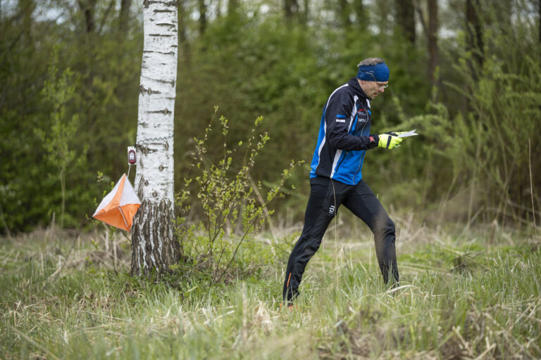
Now, Let’s Talk About the course!
Course setter Joosep Tammemäe shares his insights:
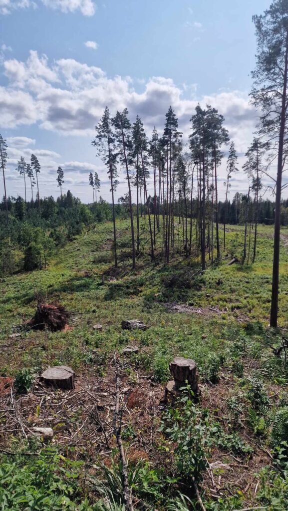
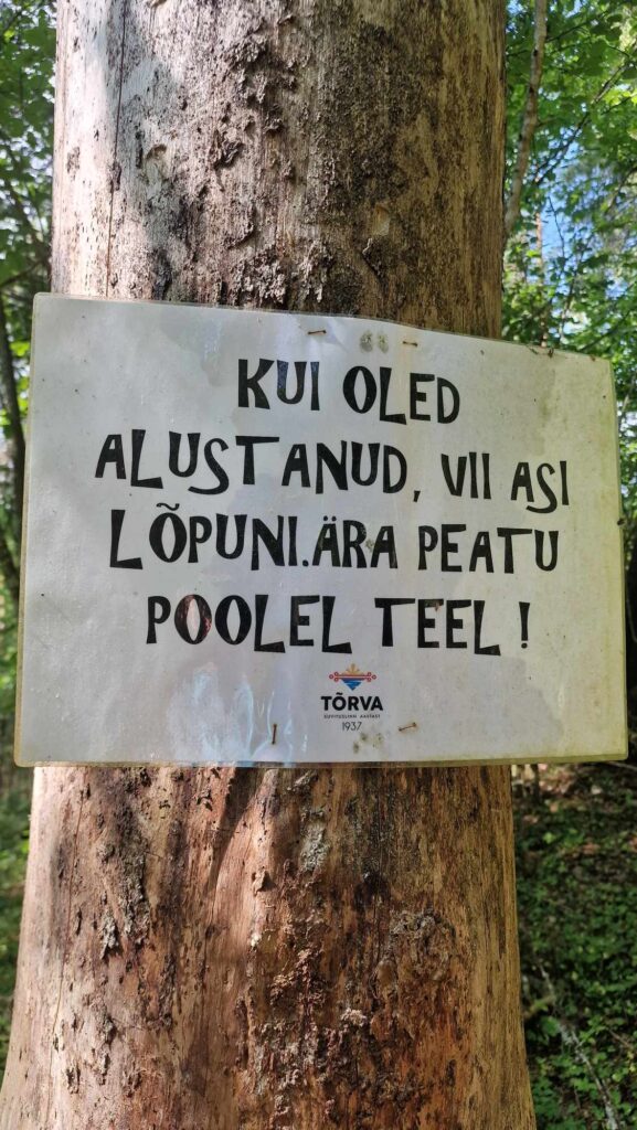
“Tõrva is undoubtedly a gem worth visiting in Southern Estonia. It’s also my favorite town in the whole country. Small yet captivatingly beautiful, the Tõrva rogaine course offers diverse terrain and interesting checkpoints. The map features both hilly, trail-rich forests and agricultural areas where navigation options are more limited. Please note that crossing the farmland is generally prohibited based on the landowners’ wishes, whether the crops have been harvested, hay made, or the fields plowed and sown. We ask that you respect the landowners’ wishes and stick to the forests and trails marked on the map.
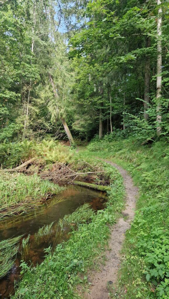
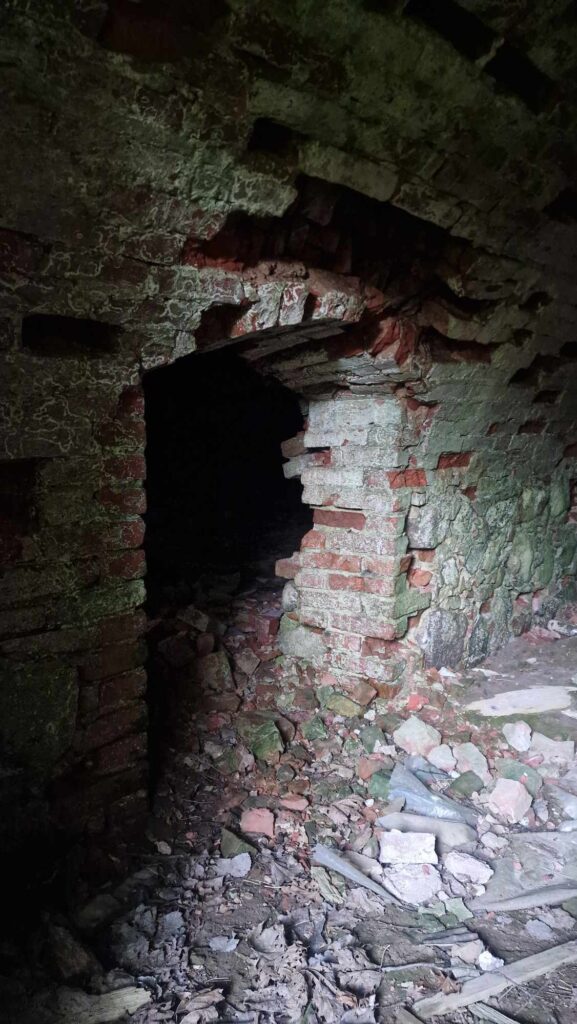
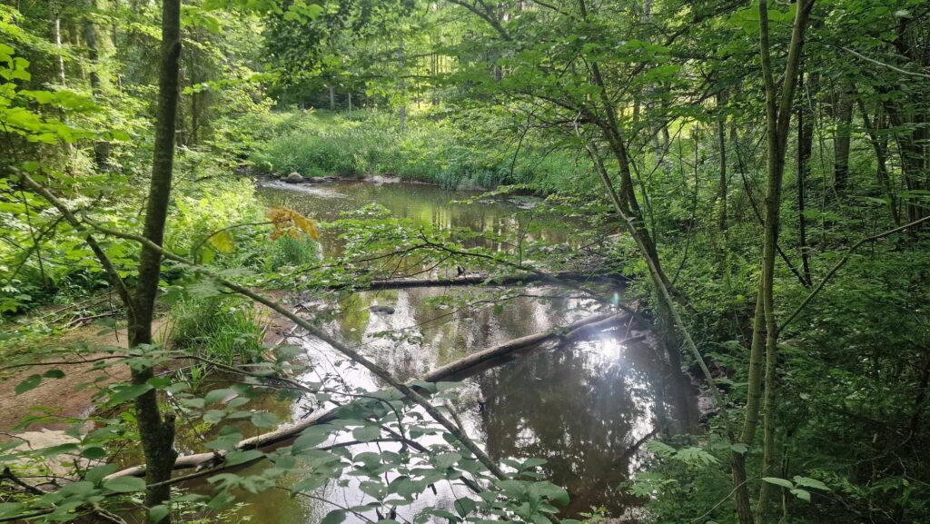
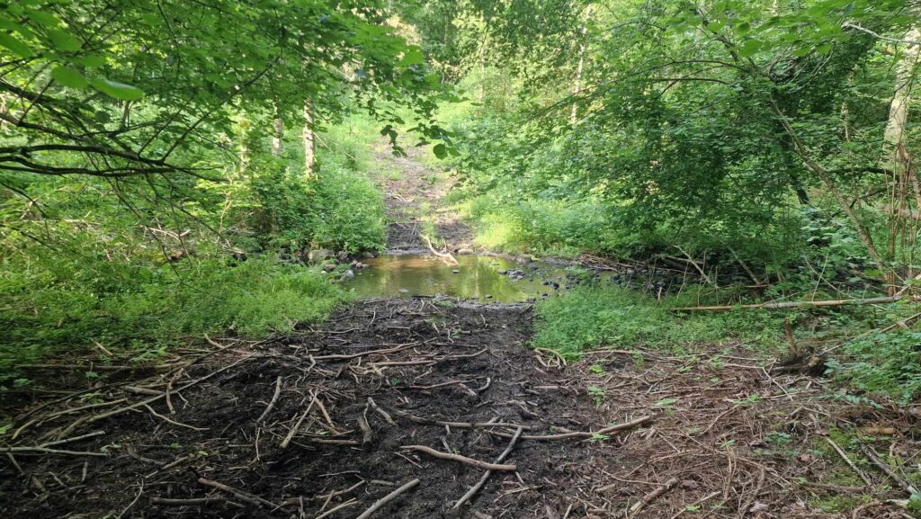
Some of the more interesting checkpoints are located in dark areas, so while a headlamp is recommended, it’s not absolutely necessary. These dark sections won’t require long navigation or searching, and there will be some additional lighting to help you find the points without a headlamp. Crossing the Helme River is allowed, and in the northern part of the map, it shouldn’t pose any problems. In the southern part, however, the river is deeper and might require swimming or using bridges.
The course is also suitable for cyclists, with only a few checkpoints requiring more strenuous effort, and some located a fair distance from the trails or roads. To see the tops of some hills, you’ll need to tip your hat back and look up! There’s nothing to fear—just give it your all. See you in Tõrva!”
Course Details
The map features 40 checkpoints (numbered 31-70), with a total value of 184 points. The direct distance covering all points is approximately 24.8 km. There is one water source on the course, marked on the map as a drinking point.
The direct distance of the hiking trail is 8 km, with an actual distance of about 10 km.