Tartu ülikooli orienteerumisrada / University of Tartu Orienteering course
Mis paikneb Tartus Struve meridiaanikaare ümbruses?
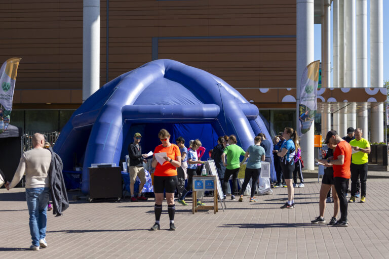
12. juunist kuni 21. septembrini 2025 on kõik Tartu Ülikooli töötajad, üliõpilased, vilistlased, nende pered ning kõik teised huvilised oodatud läbima orienteerumisrada „Kulgedes Tartus mööda Struve meridiaanikaart“.
Friedrich Georg Wilhelm Struve (1793–1864) eestvõtmisel loodi aastatel 1816–1855 Maa kuju ja suuruse mõõtmiseks triangulatsiooniahel, mis ulatus Põhja-Jäämere äärest Musta mere äärde. Kaare pikkus põhjast lõunasse on 2822 km ning see läbis praeguse Norra, Rootsi, Soome, Venemaa, Eesti, Läti, Leedu, Valgevene, Moldova ja Ukraina territooriumi. Struve alustas kaare mõõtmist Tartu tähetornist ja Tartu meridiaan jäi kogu töö aluseks. Maailmas üldlevinud Greenwichi meridiaanist on Tartu meridiaan 26°, 43′ ja 12’’ idas. Alates 2025. aastast kuulub Struve geodeetiline kaar UNESCO maailmapärandi nimistusse.
Orienteerumisrada annab võimaluse tutvuda kaare ümbrusesse jääva 15 vaatamisväärsusega.
2025. aasta ülikooli orienteerumisraja on kokku pannud TÜ Eesti geograafia kaasprofessor Taavi Pae ja TÜ muuseumi teadussekretär Ken Ird.
Kuidas orienteeruma minna?
- Orienteerumiskaardi saad alla laadida nutiseadmesse, välja printida või võtta TÜ peahoone (Ülikooli 18), TÜ muuseumi (Lossi 25), Delta keskuse õppe- ja teadushoone (Narva mnt 18), Biomeedikumi (Ravila 19), Chemicumi (Ravila 14a), Physicumi (W. Ostwaldi 1), tehnoloogiainstituudi (Nooruse 1), TÜ raamatukogu (W. Struve 1), Lossi 36 või Vanemuise 46 õppehoone valvelauast.
- Tutvu enne rajaleminekut leppemärkide süsteemiga.
- Kontrollpunkti jõudes skaneeri seal olevat ruutkoodi (QR-kood). Kontrolli, kas telefonis on ruutkoodi lugemise rakendus olemas. Kui ei ole, siis laadi see oma telefoni.
- Rada kulgeb majade vahel, tänavatel, rohealadel jm avalikus ruumis. Ole liikluses ettevaatlik! Rajal ette sattuvatest objektidest (nt kõrged aiad, müürid, lillepeenrad või hekid) ei tohi otse üle minna. Samuti on keelatud siseneda eramajade või asutuste hoovidesse, kui need on tähistatud vastava leppemärgiga. Keeldu tähistavad märgid tunned kaardil ära jämeda musta joone (aed, müür) ja samblarohelise värvuse järgi.
Kes võidab?
Orienteerumine on kogu ülikoolipere tervisespordiüritus, mille jooksul loositakse kõigi osalenute vahel välja hulk toredaid Tartu Ülikooli meeneid. Selleks, et loosiõnn võiks naeratada just sulle, anna meile pärast orienteerumas käimist teada, et võtsid üritusest osa.
Registreerimine: https://survey.ut.ee/index.php/211965?lang=et
ENG
What sights can we see in Tartu along Struve Geodetic Arc?
From 2 June to 21 September 2025, all University of Tartu employees, students, alumni, their families and all others interested are welcome to complete the orienteering course “Exploring Tartu along Struve Geodetic Arc”.
On the initiative of Friedrich Georg Wilhelm Struve (1793–1864), a chain of survey triangulations stretching from the Arctic Ocean to the Black Sea was established in 1816 to 1855 to determine the shape and size of the Earth. The arc of 2,822 km from north to south passed the territory of modern-day Norway, Sweden, Finland, Estonia, Latvia, Lithuania, Belarus, Moldova and Ukraine. Friedrich Georg Wilhelm Struve started measuring arc from the Tartu Old Observatory and the Tartu meridian remained the basis for the entire work. The Tartu meridian is located 26° 43′ 12’’ east of the well-known Greenwich meridian. In 2005, the Struve Geodetic Arc was added to the UNESCO World Heritage List. The orienteering course provides an opportunity to explore 15 sights in the vicinity of the arc.
The university’s orienteering course of 2025 was created by University of Tartu Associate Professor in Estonian Geography Taavi Pae and Research Secretary of the UT Museum Ken Ird.
How to start orienteering?
- Download the orienteering map to your smart device, print it or get it from the front desk of the UT main building (Ülikooli 18), UT Museum (Lossi 25), the Delta academic and research building (Narva mnt 18), Biomedicum (Ravila 19), Chemicum (Ravila 14a), Physicum (W. Ostwaldi 1), the Institute of Technology (Nooruse 1), the UT library (W. Struve 1) or the academic buildings at Lossi 36 or Vanemuise 46.
- Before you start, make sure you know the map symbols.
- When you arrive at a checkpoint, scan the QR code with your phone. Make sure your phone has an app for reading QR codes. If not, download it.
- The course passes residential areas and runs in streets, green areas and other public places. Be careful in traffic! There are several objects on the course (e.g. fences, walls, flowerbeds or hedges) that you are not allowed to cross. Similarly, do not enter private yards that are marked respectively. On the map, “no entry” areas are marked by the thick black line (fence, wall) and moss green colour.
Who wins?
The orienteering is a recreational sports event for the whole university community during which several University of Tartu gifts will be raffled among all registered participants. To give chance a chance, let us know that you went orienteering.
Register here: https://survey.ut.ee/index.php/211965?lang=en